
 |
| Dry slot after midnight |
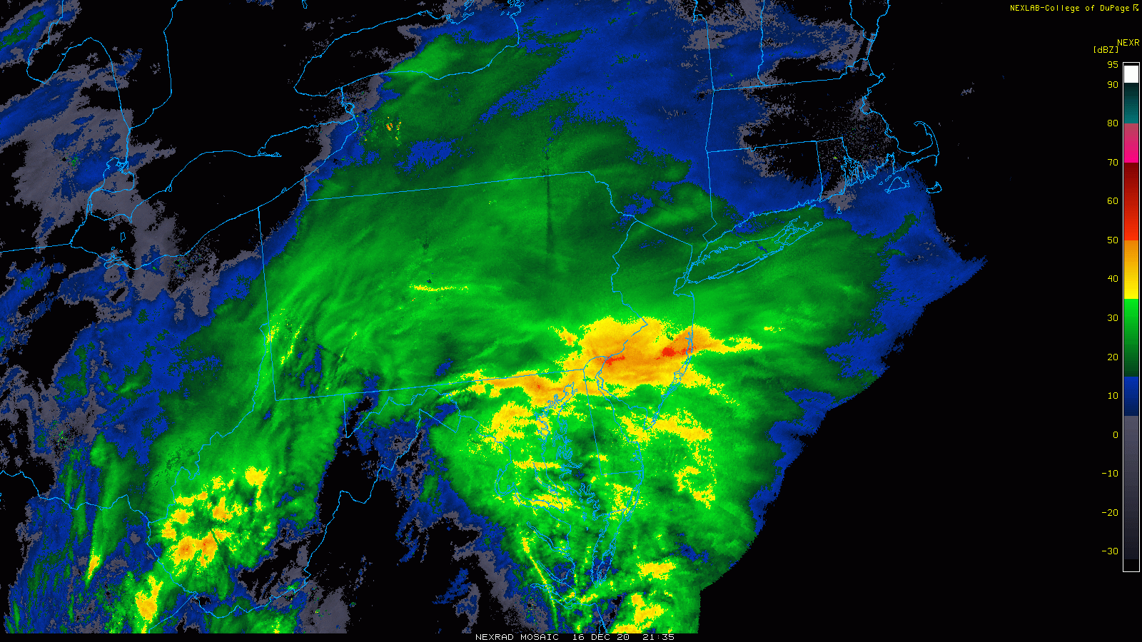
Long loop of storm regional
 |
| long loop of storm |
SPC evolution of the storm

48 hours out the NAM Kuchera map was the closest with the heaviest snows in the right areas, while the fringe areas were a little off.
=======================================================================
It's pretty evident we are getting a foot of snow. Here's the latest maps. Almost all have at least 10" or more. Its not a complicated system, just a weak low throwing warm air into a new cold air mass. No phasing, though a weak upper low is going to stall the storm briefly in the NJ area. Biggest concerns have been the GFS being so far south, which corrected today.

So here are the 12z snow maps from today.


With the exception of the GFS which pulled north, and the NAM and Icon somewhat pulling north, most runs were very consistent. QPFs in the 1-1.5"range for most of the tri state with higher amounts on some runs and the nam3k. Other things to watch are mixing on coast, dry slotting which is showing up in the Nam3k. Northern cut off will be shar, likely just north of Albany-Boston.


.gif)