Monday, January 15, 2024

"Storm" 2 - NADS

1-15

 From an outcome standpoint, this storm isn't very interesting.  Should be widespread 1-3" across most of the tri-state with higher lolipops of 4-5" over PA and in other areas.  NNE and WV should see 6+.

What makes this notable, for me at least to blog it, is the path that we took to get here. 

Euro first caught our eyes over a week before.


950's for pressure was pretty eye catching


Then it began to shift south on the 11th


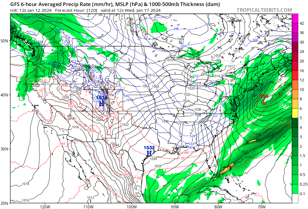
Meanwhile GFS was ignoring it, making it a frontal passage


Then as the Euro shifted ots, the GFS became a threat on the 10th, 11th and 12th
10th
11th
12th

Then poof. It was gone from the GFS.  All that was left between the two major models was some flurries from a jet streak or something. 
18z on the 12th

Will note here that the Canadian has had this the entire time, although sometimes too far inland. Timing issues on some of the frames may look like misses but all but one run, 0z on the 11th, was a hit. 


Will also note that the AI models mostly had this as storm around or inside the BM as well.

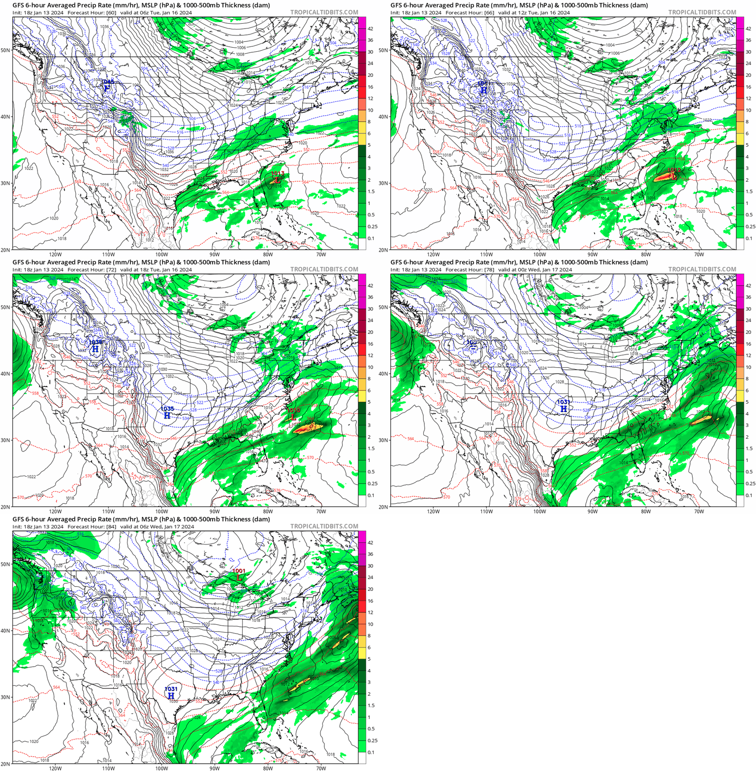
When the NAM got into range, it brought back our hopes. Every run from the NAM laid down some powder for the MA/NE, though sometimes it was also too far inland and brought rain.  


Low and behold, the 14th into the 15th, the GFS started backing the storm to the west as seen by the qpf maps. Last three frames especially.


Euro also came around. 

It's always interesting when the crazy uncle from up north is the best model. 


Monday, January 1, 2024

1-7 First snowstorm

 1-6 - Well it's snowing out.  Pretty much the way described below too.  Had a business conference 1-2 to 1-5 so didn't keep this up but really nothing changed.  There was some movement of the rain snow line and some differences in QPF but we did get our first snowfall.


1-1 - Starting coverage on this developing system that will affect the MA/NE (mid atl/northeast) around the 7th. We started seeing this on the 29th over at Wxsphere.com and it became more serious when we had 3 runs of the GFS in a row AND the Euro AND the Canadian all showing snow in the area on the 30th.


The setup is actually pretty straightforward.  Low crashes into California on the 3rd, exits out NJ on the 7th.  There's a confluence zone to our north which will keep it from cutting. The main concern would be that the storm gets suppressed. The confluence does break right as it goes by, but that would be a major shift.  I'm putting this at a 10% chance it tracks too far north for snow, 60% that it brings snow to the Boston to DC and 30% that it only affects NY south.  


Latest run of the Euro does demonstrate why there's still 10% chance that it goes too far north for the MA. Confluence to the north is a little too far ahead and there is some energy behind that can dig in.


Still a little concerned on the track of the low and the cold air which is not around.  It's cold enough for now though. The purple area next to the green is mix.  The purple areas surrounded by blue is heavy snow.

Even with the track being close and the slightly further north jog in the 500mb, we still get a decent amount of snow in the area. 


Storm 3 - could be the one! (spoiler, it was)

 2/9  Set up is an upper low over TX that heads northeast into TN valley and then transfers off the coast. At the upper levels, there's ...