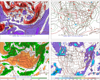
12-18 - not sure if the snow will survive the current 50 degree and fog. There are some opportunities out there though on the 23rd and 26-27th. Honestly, including the current system today, the GFS has 5 storms in next 14 days cutting to the lakes. One of them HAS to be a miss..
The 23rd has a clipper coming through, but to the north. GEM and UKMET form a secondary though, which could happen. Tonites blast of cold is stale by then, so no heavy front end snow.
Some pics from that time frame
 |
| Euro |
 |
| UKMET |
 |
| CMC |
 |
| GFS |
Then on the 27th, Euro showing cutter to the lakes. But this one might have some good cold air in front of it per the GFS Para Note the strength and position of the H in Canada.
And even better the operational GFS


.gif)

No comments:
Post a Comment