1-30 These are the results... 6" here
Radar shots 10pm, 6am 9am
 |
| 6am banding setting up |
 |
| 10 pm storm arrives |
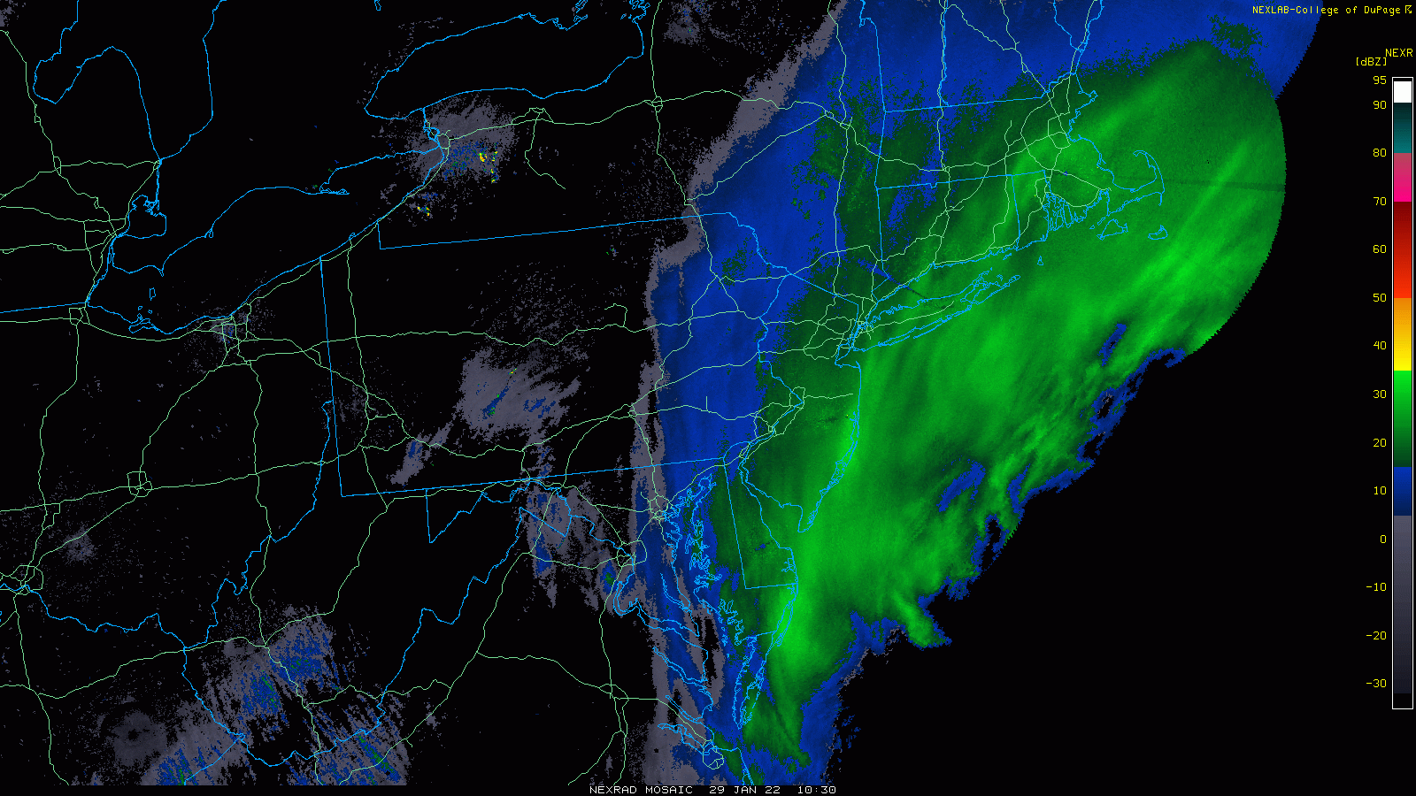 |
| 9am banding just missing us |
A couple of the issues we had with this storm, other than there being 4 pieces that were difficult to track and come together completely, was that areas like mine didn't have really good snow growth. The final slr was about 11:1, which is hard to understand when surface temps were 8-10°F. Further look at the skew showed that the DGZ was really low 925 to 600mb or so, but the theta was 600-500mb. Some have also argued the wind destroyed the flakes, but videos from the Shelter Island ferry terminal show huge flakes in winds of 50mph with winds on that skew nearing 100mps at 925-850mb. So while it snowed a lot, it didn't add up. We were constantly stuck between bands. Oxford had 9" Shelton 8" Fairfield and Bridgeport airport 10". To have 50% more snow the next town over is frustrating and hard to predict.

1-28 Started snowing late morning, didn't really stick even though temps were 30. Wanted to note some model history. First the GFS ensembles capitulation. It may not look like much from this far away, but the amount of precip the GFS had was pretty steady for quite a few runs, then last night, it moved into the Euro's range. This is the ensembles, which isn't usually as extreme.
GFS operational snow had us at 0.5 up to 15 before it leveled out around 11.
And then there was the 6z NAM, lighting up wxtwitter...
So as of breakfast, the outlier low end model was the GFS with 13-15 inches for Newtown.
Euro was in at 20
Then came the short term models.
Then the 12z runs came out and started halving the amounts, except the GFS which lowered but not half. No surprise. Here is where the NWS settled.
1-27 Well this has been a ride....
NAM came on board right away, then dropped it on the 18z run, only to come back strong.
Euro been pretty steady
GFS windshield wipered
Canadian was more consistent than the GFS which is odd.
But now that they've come together it boils down to when that upper low closes off and which model eliminates the noise over the atlantic. NAM and Euro close off the low earlier, NAM just off NJ now, and Euro a little further east. GFS was by Cape Cod but shows signs of caving to the Euro.
Ukie came on board this morning, then shifted east again.
It's definitely one of the most challenging storms to forecast with pros on tv, and accuweather unsure up to now. Even the NWS acknowledged 48 hours prior, the challenges.
SHORT TERM /FRIDAY THROUGH SATURDAY NIGHT/...
Major winter storm possible for much of the region Friday
night and Saturday...
It has been a live-or-die-by-every-model-timestep sort of night here
at the office. And what the models give, they also take away, which
basically describes the model variability we have seen the past
couple of days with the potential winter storm for our region Friday
night and Saturday. The 00z suite has made a notable consensus shift
westward with the low tracking just off the coast, but the high
volatility/variability remains. The 00z GFS is a far-east outlier
solution and basically brings little snow to the CWA for the whole
event. Meanwhile, the 00z NAM returned the snow to our area, in a
large return of departure from the 18z NAM no-show (no-snow) event.
The 00z CMC brings a blockbuster storm to the area, with widespread warning criteria south and east of the Fall Line; the 00z ECMWF is only somewhat drier than its 12z predecessor run. The 00z UKMET went sharply west, with meaningful QPF/snow for much of the area.
The model volatility with this system has been something to behold. Such run-to-run spread is typical/expected for these types of events, given the highly complicated interdependent phenomena involved. However, simple analysis of the spread in the National Blend of Models is enlightening; the 04z NBM V4.0 (V4.1) 50th percentile storm total snow for the Philly area was around 1.5 (1) inch(es). The 75th percentile storm total snow was around 8 (10)
inches, or roughly an order-of-magnitude difference between the
median and the upper quartile. Bottom line here: the storm total
snow forecast remains highly uncertain and subject to large changes in subsequent forecasts.
Observation-wise, it will be critical to assess three
regions/phenomena as the event unfolds: (1) the strength/depth,
orientation, and speed of a northern-stream digging vort max through the Midwest on Friday morning, (2) the orientation and speed of a southern-stream vort max in the southern Plains around this same time, and (3) the low-level response to the phasing trough near/off
the Southeast coast Friday night (e.g., the 850-mb heights and
winds). The progressive solutions have a more compact and faster
northern-stream vort max and a slower southern-stream vort max,
which results in upper low development farther east (and generally
too far east for our region to see substantive snow); the snowier
solutions acquire phasing and neutral to negative tilt of the large-
scale trough more quickly (and thus, farther west). Trends in the
low-level response are obvious Friday night -- the NAM/CMC (aside
from the errant 18z NAM simulation) are positioning the 850-mb
low/trough farther southwest. The GFS is much noisier, exhibiting
little trend. Notably, the 00z GEFS featured unusually low spread,
which makes me wholly suspicious of the deterministic and ensemble
output from its suite.
With the model camps making the GFS more and more of an outlier,
tonight`s forecast is generally a non-GFS consensus blend. This
preserves a considerable amount of continuity to fields of
importance such as PoPs, QPF, and snow amounts. The main changes
were to sharpen the gradient of snow totals near/northwest of the I-
95 corridor, with 1-3 inch totals northwest of the Fall Line, 3-6
inch totals in the urban corridor and immediately adjacent areas,
and 6-12 inch totals roughly from Easton, MD, to New Brunswick, NJ.
Again, there is enormous uncertainty with these forecast totals. If
the more progressive solutions pan out, very little snow may occur
in a large chunk of the area. If the slower/stronger solutions pan
out, heavier totals would occur at least to the Fall Line. Continue
to monitor the forecasts, as large changes may occur leading up to
the event.
Based on the forecast totals, we have issued a winter storm watch
for all of Delmarva, far southeastern Pennsylvania, and most of
central and southern New Jersey from 7 pm Friday to 7 pm Saturday.
Will fine-tune the timing once warnings/advisories are issued, but
this is the general time window of concern for our area.
Other impacts and forecast considerations...
Winds will be a big factor with this storm, with north winds of 10
to 20 mph becoming northwest 15 to 25 mph on Saturday. Gusts of 30
to 40 mph will be common, with higher gusts possible (especially
near the coast and in the higher elevations). With snow falling for
much of this time, very low visibilities and blowing snow are
possible. Conditions may become very hazardous near the coast on
Saturday.
Wind chills will drop well below zero across the area Saturday night
as northwest winds remain quite strong. Advisory conditions (wind
chills at or below -15) are probable in the southern Poconos and far
northwest New Jersey.
Dry air advecting into the region from the northwest on Saturday
will likely make for a rather abrupt cutoff to the snow. A sharp
gradient in snow totals is possible if this dry air is stronger than
already forecast. This only increases uncertainty with snow totals
northwest of I-95, in particular.
There may be some light snow or a wintry mix on the front-end of the
event on Friday afternoon into the evening. Models remain quite
variable with this potential. Impacts with this are expected to be
limited. The primary period of more substantial precipitation (snow)
is expected to be after the Friday evening rush.
1-25 Been watching this for a few days. The storm hasn't gone away, though it's been in different positions. Three areas of energy will be diving into a trough and meeting up to round the trough and come up the coast. The 0z euro is the strongest of these and gives the best example of how it can work.
The GFS yesterday (1/24) also had a pretty significant 12z run But in the 18z run one piece of energy got stuck in the SW and ended up missing the trough, which resulted in a less potent storm which relied on the energy from Canada to make it go negative tilt. This happens just a bit too late, resulting in good snow for Maine and Eastern New England.
As I mentioned, the storm has been there for a while, just in different forms.
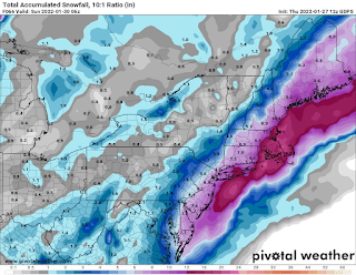
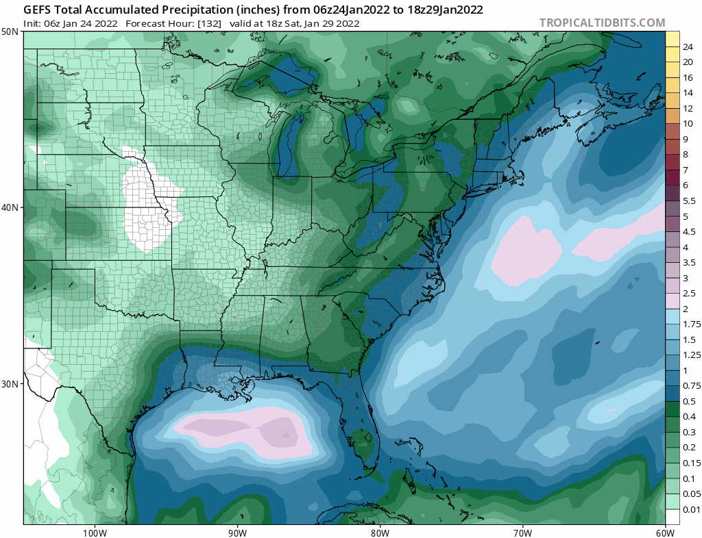
Snow maps from 1/24....


.gif)
