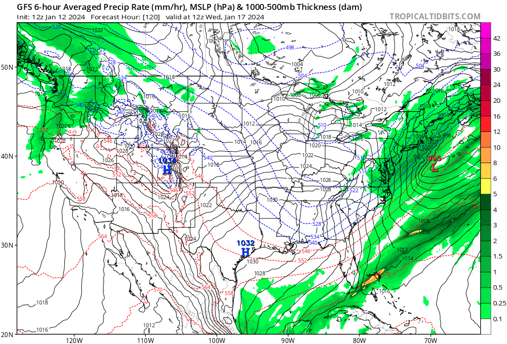
2/9 Set up is an upper low over TX that heads northeast into TN valley and then transfers off the coast. At the upper levels, there's two systems to the north of the main one that come into play. First one comes through and delivers some decent cold air. The second kicks the storm east instead of letting it continue north. Now things would have been really interesting if that second piece was faster or dove in behind more instead of kicking it out. Then that upper low wouldn't be in such a hurry.
.gif)
At the surface it's similar but the surface low is in front of the upper low, until the upper low catches up and causes the surface low to deepen. You'll see as the low approaches WV, it transfers to the coast and then deepens pretty quickly.


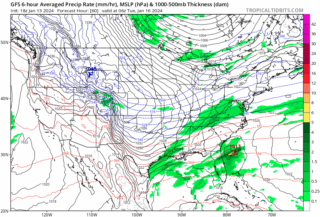
As far as final outcomes, right now the five models that go out this far agree there's a storm. Its strength and path isn't agreed upon though. The GFS and Euro however, are pretty close, and both hit the Tristate and PA. Icon is further north, UKMET further south. The Canadian has been bopping around too much, but is currently aligned with the Ukie.
.gif)


Uptons first snow map

Results - after a shift north in the models over the weekend, nearly taking CT out of the precip, the models reshifted south, again almost taking CT out of the precip.
.gif)


.gif)
