1-15
From an outcome standpoint, this storm isn't very interesting. Should be widespread 1-3" across most of the tri-state with higher lolipops of 4-5" over PA and in other areas. NNE and WV should see 6+.
What makes this notable, for me at least to blog it, is the path that we took to get here.
Euro first caught our eyes over a week before.


Then as the Euro shifted ots, the GFS became a threat on the 10th, 11th and 12th
 |
| 10th |
 |
| 11th |
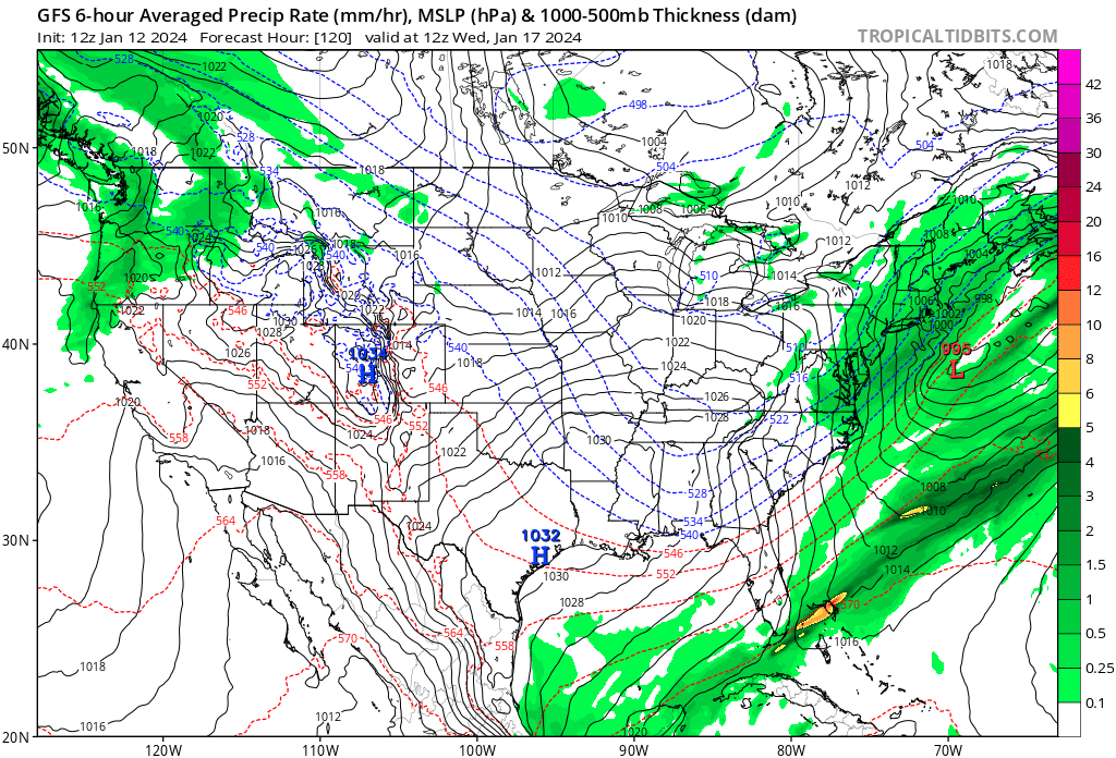 |
| 12th |
Then poof. It was gone from the GFS. All that was left between the two major models was some flurries from a jet streak or something.
 |
| 18z on the 12th |

Will also note that the AI models mostly had this as storm around or inside the BM as well.
When the NAM got into range, it brought back our hopes. Every run from the NAM laid down some powder for the MA/NE, though sometimes it was also too far inland and brought rain.

Low and behold, the 14th into the 15th, the GFS started backing the storm to the west as seen by the qpf maps. Last three frames especially.

Euro also came around.

It's always interesting when the crazy uncle from up north is the best model.


.gif)

No comments:
Post a Comment