


Station 42039 with a sustained wind of 38.9kts and gusts of 50.5 kts.
Tyndall tower seeing a few hours of minor TS storm winds of 40kts gusts to 47kts
Apalachicola buoy with TS force gusts to 40kts and sustained just under at 32kts.
Panama city buoys are still under TS for even gusts.
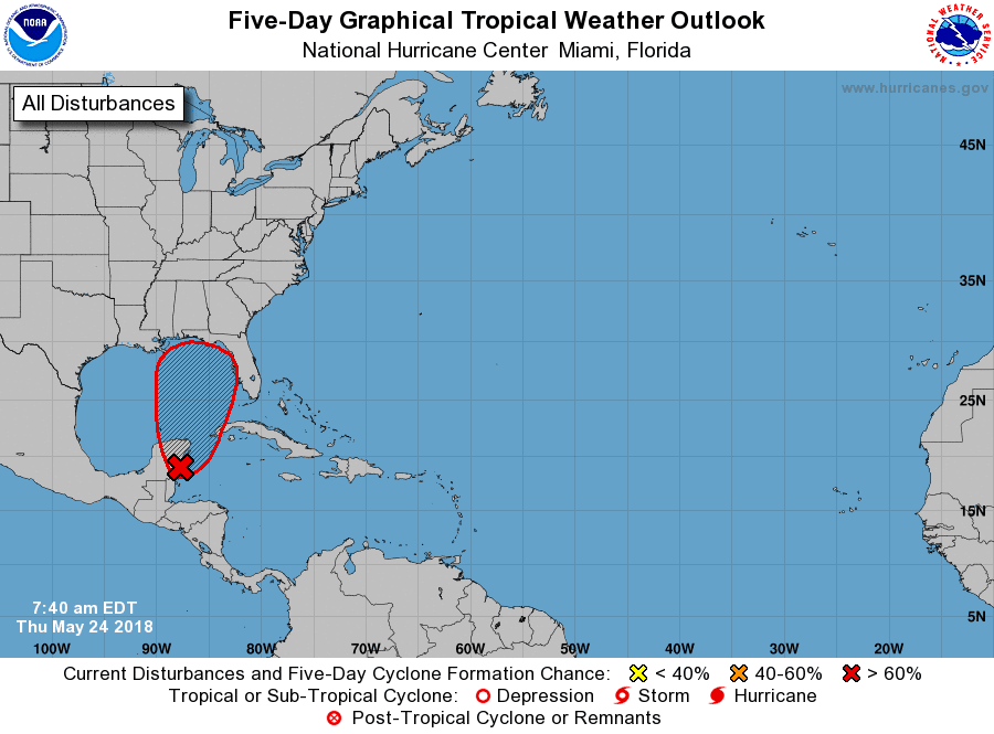
5-27 - been a little busy to post but as in the pre season post, we were at risk of a TS developing in the Gulf. Alberto was named yesterday. Currently 50mph winds. Open on the east side, dry air keeping this from making hurricane strength. Recon did put out a vort message with a 71mph wind, which hasn't been mentioned by the NHC
Product: Air Force Vortex Message (URNT12 KNHC)
Transmitted: 27th day of the month at 2:01Z
Agency: United States Air Force
Aircraft: Lockheed WC-130J Hercules with reg. number AF98-5308
Storm Number & Year: 01 in 2018
Storm Name: Alberto (flight in the North Atlantic basin)
Mission Number: 3
Observation Number: 08
. Time of Center Fix: 27th day of the month at 1:29:50Z
B. Center Fix Coordinates: 23°41'N 84°30'W (23.6833N 84.5000W)
B. Center Fix Location: 141 statute miles (227 km) to the WNW (286°) from Havana, Cuba.
C. Minimum Height at Standard Level: 706m (2,316ft) at 925mb
D. Estimated (by SFMR or visually) Maximum Surface Wind Inbound: 62kts (71.3mph)
E. Location of the Estimated Maximum Surface Wind Inbound: 21 nautical miles (24 statute miles) to the NNE (28°) of center fix
F. Maximum Flight Level Wind Inbound: From 101° at 39kts (From between the E and ESE at 44.9mph)
G. Location of the Maximum Flight Level Wind Inbound: 92 nautical miles (106 statute miles) to the NE (49°) of center fix
H. Minimum Sea Level Pressure: 1002mb (29.59 inHg) - Extrapolated
I. Maximum Flight Level Temp & Pressure Altitude Outside Eye: 16°C (61°F) at a pressure alt. of 757m (2,484ft)
J. Maximum Flight Level Temp & Pressure Altitude Inside Eye: 24°C (75°F) at a pressure alt. of 760m (2,493ft)
SUMMARY OF 200 PM EDT...1800 UTC...INFORMATION
----------------------------------------------
LOCATION...27.7N 84.7W
ABOUT 135 MI...220 KM W OF TAMPA FLORIDA
ABOUT 140 MI...225 KM S OF APALACHICOLA FLORIDA
MAXIMUM SUSTAINED WINDS...50 MPH...85 KM/H
PRESENT MOVEMENT...N OR 360 DEGREES AT 13 MPH...20 KM/H
MINIMUM CENTRAL PRESSURE...994 MB...29.36 INCHES


.gif)
