3-22 results
3-21
Some theories as to why this busted so bad, so far.
First, there were too many competing lows. Sucked the warmth, fuel, etc out of the atmosphere. The upper low should have fired that up, but with no energy available at the surface, no temp contrast, there was not a lot to work with.
Second, nothing predicted that it would stall for ten hours.
Third, I was looking at radar depictions, which were accurate on the models. However, the snow that was involved was minimal.
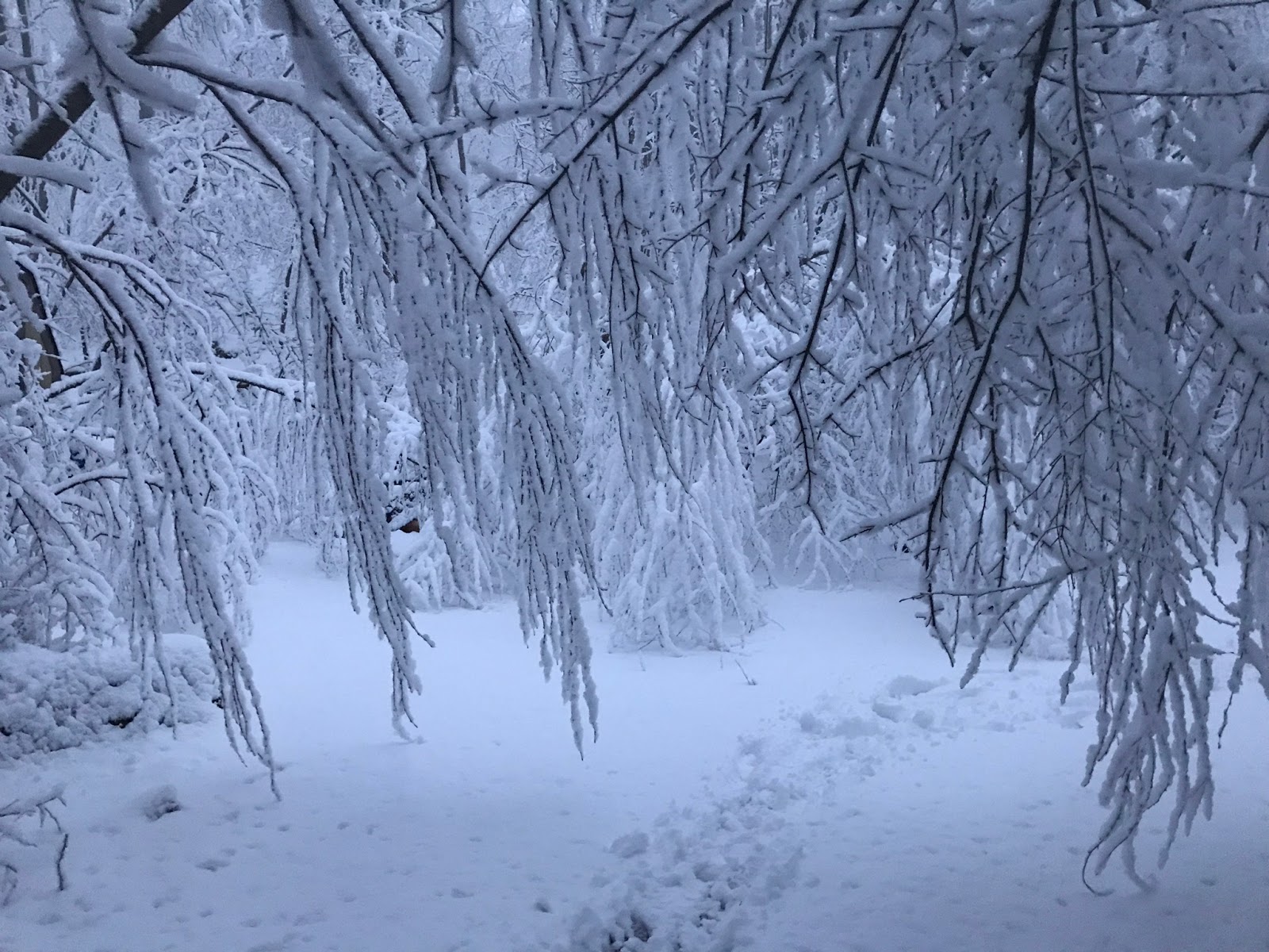
Lastly, its likely NJ, LI, NY all are pounded by this overnight. Not sure we get more than 3" now here. But its performing well elsewhere. Double digit snow so far from MD, PA, NJ and LI.
3-21 morning radar - shows heavy but not translating to inch/hr
Satellite
---------------------------------------------------------------------------------------------------------------
The low is jumpy on the 18z nam. Wondering if chasing convection.
3-20 Continue watching trends. 0z NAM giveth, 6z NAM taketh.
NWS forecast this morning was mind blowing
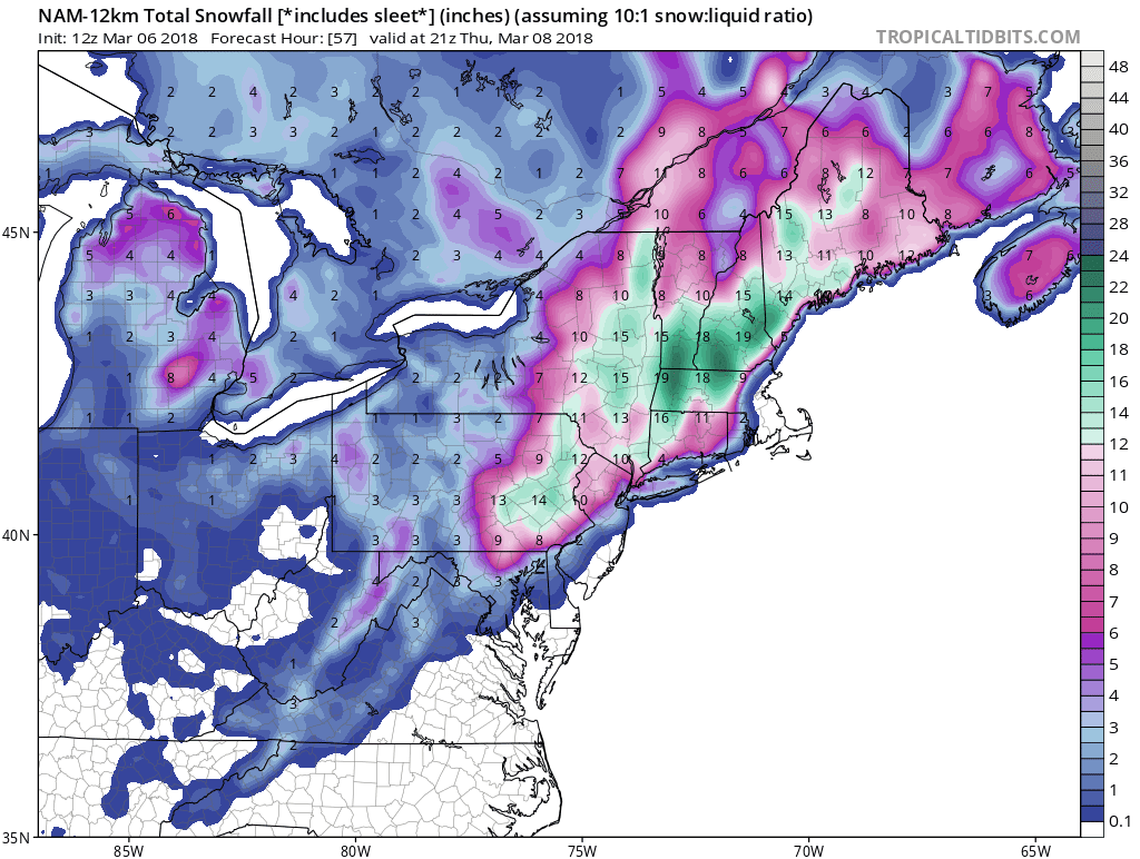
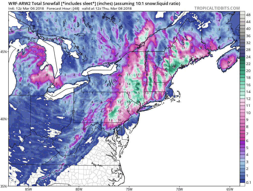
Most guidance remains a 6-8" storm. I made a crude map last night for the first time ever.
3-19
Trends trends trends.
of course the 18z gfs breaks the trend.
Latest NAM
12z GFS
3k nam
Euro
Meanwhile, we've gone under a winter storm watch with the below currently forecast
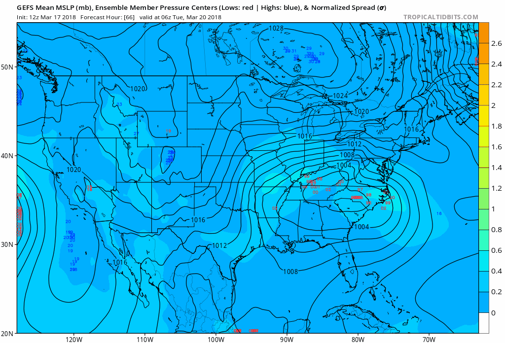
3-17
The Upper Level Low circled over SE Canada is what will dictate if we get precip. Even the latest NAM takes the storm to our south and doesn't develop it much, due to the influence of that ULL. IF that ULL moves out and the two other circled areas phase (past hr 84) then game on for a strong noreaster. If the ULL stays, then it goes south. If the ULL moves out but the pieces remain separate, there would be some snow from CT to DE, perhaps VA.
Still a lot of disagreement in the gfs ensembles
3/15 Strong signals that something will happen next week, just exactly what is tbd. All models have something moving through, but is it over us, south of us and out to sea? Here's the NAVGEM from 12z today. Typically the NAVGEM is east or southeast of where the storm ends up. We use it as a guide to compare with other more dynamic models, so when the other models are south or east of the NAVGEM there is confusion. NAVGEM rarely gives a storm 3 days of life.
Meanwhile the 12z GFS output this snow map with a similar setup as NAVGEM
Canadian more south for now
JMA has great position


.gif)
