12/8 Storm is whiffing to the south and east. Ukie is just outside BM closer to 38/70


NAM furthest north - all is in order

There's a warm air advection chance of snow Thursday then it warms up. Not much in the way of anything otherwise during the next two weeks.
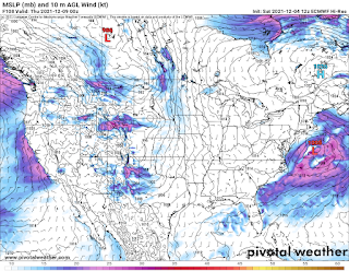
12/4 Looking at 12-8 for the first snows. This has been on and off for the last 10 days or so on the models and they are starting to consolidate somewhat. UKMET and the Euro are oddly the furthest east while the GFS and NAVGEM are furthest west. All but the NAVGEM bring minor accumulating snow to the tristate area, in some cases even to the shore areas and LI.


Things missing are really cold air and something to slow it down or make the trough go negative. GFS has it going from snow to sleet/rain, NAV is mostly rain, UKIE and Euro are mostly snow, but more of a glancing hit as they are further offshore. GFS skew shows that the surface temps aren't the problem for north of the Merritt, but that there is a warm pocket around 800mb that melts the snow and refreezes as it falls in the layers closer to the ground. Temps should be around 30-32 for the event at the surface, mabye 33. It's not a terribly dynamic storm, so faster moving and weaker, but still noteworthy as its our first real chance at accumulating snow for this season.


.gif)
