NWS has snow in the forecast thurs night into friday. Models don't really support this as a low cuts up to our west, tries to secondary, but its too warm by then. They are focused on a piece of energy coming out ahead of that, but with 850s freezing line moving further north, can't see how we get snow. Freezing rain, if surface temps warrant, but nothing to worry about.
4/8 to 4/10
CMC has snow, at least higher up.

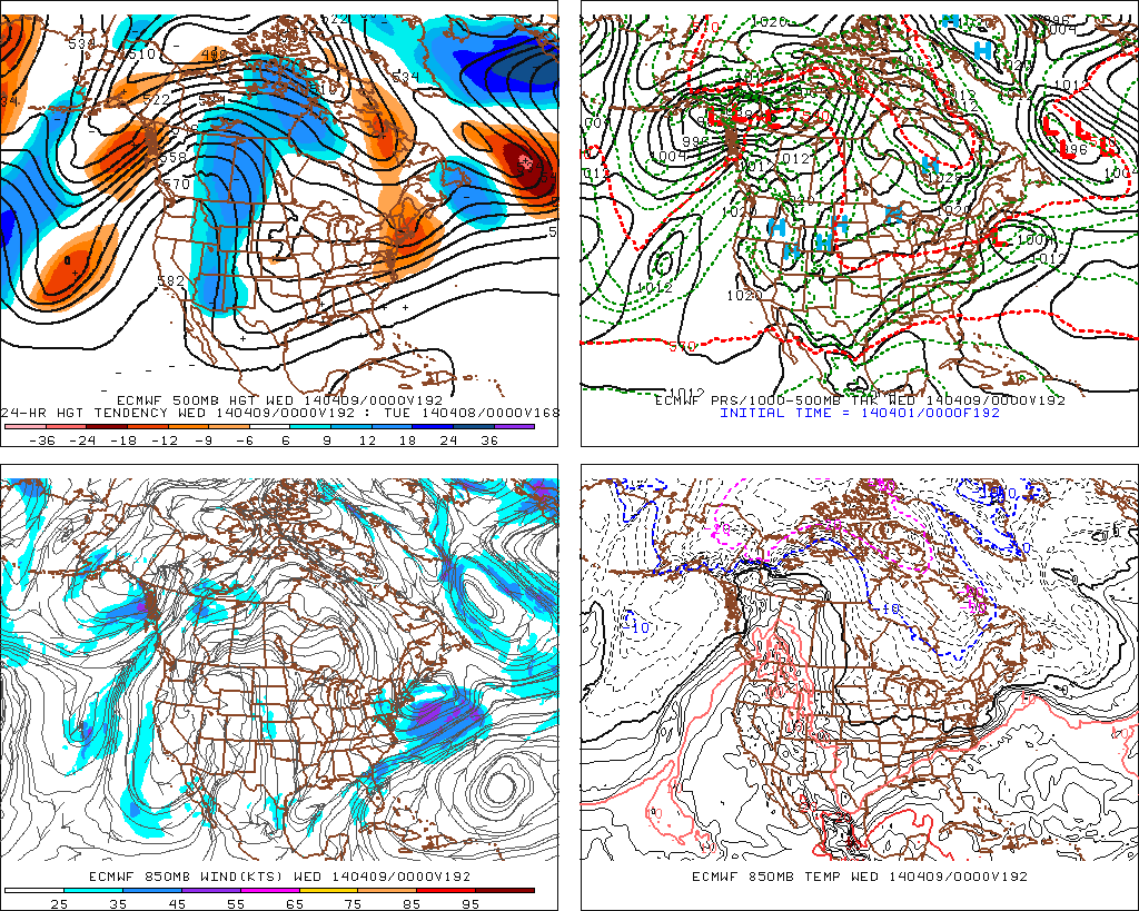

 GFS has storm, but a bit warmer and stronger, shoots the low at hr 240 out to sea.
DGEX has storm at 980 moving right over NYC and bouncing east. 850's support start and end as snow.


.gif)

No comments:
Post a Comment