Florence's remains are headed out of New England today. She struck Wrightsville Beach Sept 14 at 7:15am with 90mph winds and 958mb pressure. NHC landfall announcement

Storm surge was estimated at 11ft, but I don't have actual verification of that yet.
Rainfall was up to 50" - many rain gauges failed, pws were out because of power, and manual gauges weren't emptied on time.


A closer look with 30-50" in areas - we may never know

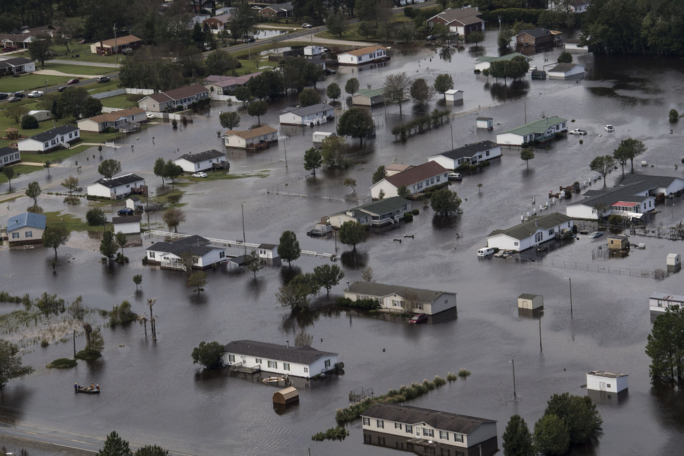
This left massive flooding...


Rivers rose to historic levels - surpassing Matthew and Floyd. NWS put together a nice comparison in their chart, and many places haven't seen their rivers crest yet.


.gif)

No comments:
Post a Comment