2-2 Euro backed off yesterdays changes. Only model which is interesting now is the NAM which takes the energy to SC. Still going to follow this until the energy hits shore on Saturday, but may not update posts unless something dramatic changes.
2-1 Euro has some changes, which should be more favorable than what's showing up on the surface. So not writing this off yet. Note ridging out west.
 |
| 0z 2-1 |
 |
| 12z 1-31 |
1-31 Euro still not on board after getting close on yesterdays 12z run. Meanwhile the GFS has lost it as well. UKMET showing nothing. DGEX even nothing.

1/30 Euro not cooperating. Last two days showing a slider. Meanwhile, the GFS, CMC, JMA all show a decent storm. NAVGEM which is usually the furthest east, is similar as well, leaving the Euro an outlier.
 |
| 0z NAVGEM |
 |
| 12z 1-29 JMA |
 |
| 0z CMC |
 |
| 6z gfs |
| 0z Euro |
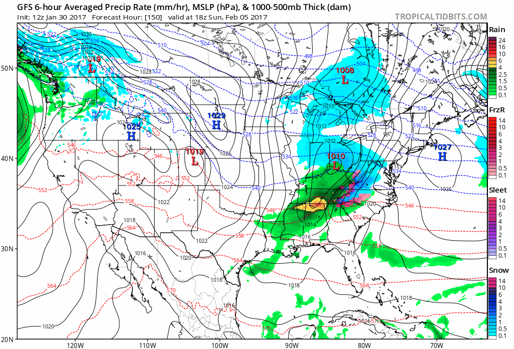

1-26 There is some chance of light snow the 30th to 2nd with passing clippers. The bigger chance comes around the 5th to 6th time frame as a storm travels across the country. Some runs are showing a cutter through the lakes, some an app runner. These two are similar - yesterdays eps and todays 12z gfs. R/S line likely i80 north.


.gif)

No comments:
Post a Comment