


3-21
updated nao and pna - NAO goes deep and PNA stays positive. AO bottles up real cold, thankfully, but the pattern is showing possibilities of cold start to spring. Some temp deviations of -20 are showing up as well. Above are the nao and pna ensembles for today. These teleconnections result in the 8-14 day forecast from the Climate Prediction Center, which is dark blue! But for most of the areas south of here, the average highs are in the low to mid 50's, so even a remarkable deviation only results in 30's.
---------------------------
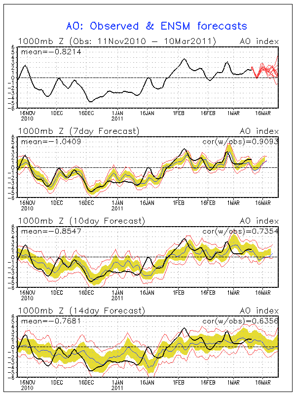


The PNA is finally positive again, and is forecast to stay there until the 20th or so. At the same time, the NAO heads negative and the AO goes negative. Neither the NAO nor AO are strongly negative, but they are there, and with the positive pna indicates a trough in the east, with blocking downstream which should result in a storm forming and slowly coming through the area, most likely from the south. Normally great signs for snow, except its warmer now.
But the Euro has nothing today on it, only a small storm sliding south on the 17th. Afterwards, there is a ridge in the middle of the country, with the NE on the backside of a trough. The CMC has an interesting storm on the 17th as well, that looks like what I describe above, a slow moving storm coming up from the south, but it heads to our west. Its an odd look, so will only count it as interesting as there is a storm there. After the 17th, the cmc puts a ridge in the east with storms riding over it. 0z GFS looks funny too, with the 17th storm heading to the great lakes and another the same way on the 22nd. 6z has a trailer after the 22nd, blowing up as a snowstorm here on the 24th.


.gif)

No comments:
Post a Comment