12-29 We had an inch of crust on the deck. 2.5" in the pint glass left outside. There was some snow overnight which was observed by another local weather fan, and you could see it in the glass actually.
12-28 GFS never cools the 800mb layer under freezing, Euro moves warm air now to 6z. Result, we should start as snow - if it comes down hard enough, there will be some evaporational cooling to cool that 800mb-700mb layer. However, the ground also is not frozen, so a lot of melting is possible. After what should be a short burst of snow, if at all, more prolonged sleet. By 7am just rain for most of CT, lower hudson valley, and other places that started as snow/sleet. Maybe Hartford on north gets an inch, but tough to measure with the sleet there as well. No other snow progged by the Euro EPS or GFS for the next 16 days, other than potentially some flurries.
12-27 Euro still has this nose of warmth at 800-700mb level which may prevent much snow and result in more of an ice/sleet event. Tues 0z is the last time that level is below 0c, and the precip falls from 6z-18z. 850's support frozen until 14z or so then warm to +9c. Euro has .32 as frozen, .39 as wet. Surface temps mostly above freezing, so its sleet most likely to rain.
GFS is a bit trickier to forecast with .15 falling as frozen. Then from 6z to 12z the 850 temps go from -4 to 2 with .61 falling at during that time, then another .24 falling after. 750 temps look above 0 the entire time as well, with 800 temps only at -1 at 6z. Again, signalling a more sleet time scenario.
Here are major model snow maps for the "event" from their 12z runs.
 |
| Euro 12z |
 |
| GFS 12z |
 |
| NAM 12z |
12-24 - Brief update. Euro and GFS still on board with 3-5 inches for most areas north of I80. However, on the 12z Euro, there is a nose of warmth at the 700mb level which could cause more ice pellets than snow, as that warmth precedes the .53" qpf progged to fall between 7 am an 1pm. 12z GFS did not have this feature.
12//23 Evening update. Euro showing front end snow 3-6 inches most of CT, Hudson Valley with 1-3 Northern NJ/NE PA and 6+ Mass on north. Snow mostly accumulates 12z 12/29 to 18z with temps 29-32. Temps are interesting -on the 27th, the high is 65-70 in parts of ct with 70-75 in parts of NJ. Temps only get below freezing somewhere around 6z on the 29th and stay below until 21z or so. Then by the 31st its back to near 50.
 |
| Euro 12z snow |
 |
| Euro temps 12-28 0z |
Noon
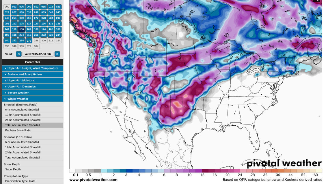
Hard to believe this but there is a chance of accumulating snow Mon-Wed as a system moves up to our west. Its a warm front snow, so its snow to rain. GFS is all over it. Euro is much less, though still accumulating. Here are two versions of the same GFS forecast - one software assumes all snow, the other factors in other frozen precip. Plus the 6z gfs off Accupro and 0z Euro The latter makes sense as there will be cold air damming with warm air aloft, transitioning to snow, sleet, freezing rain then rain. Of course surface temps need to cooperate, which I'm a little skeptical of right now. Plenty of time to change that attitude.
 |
| Insane map |
 |
| Sane Map |
 |
| Between the two - gfs 6z |
 |
| Euro 0z |


.gif)

No comments:
Post a Comment